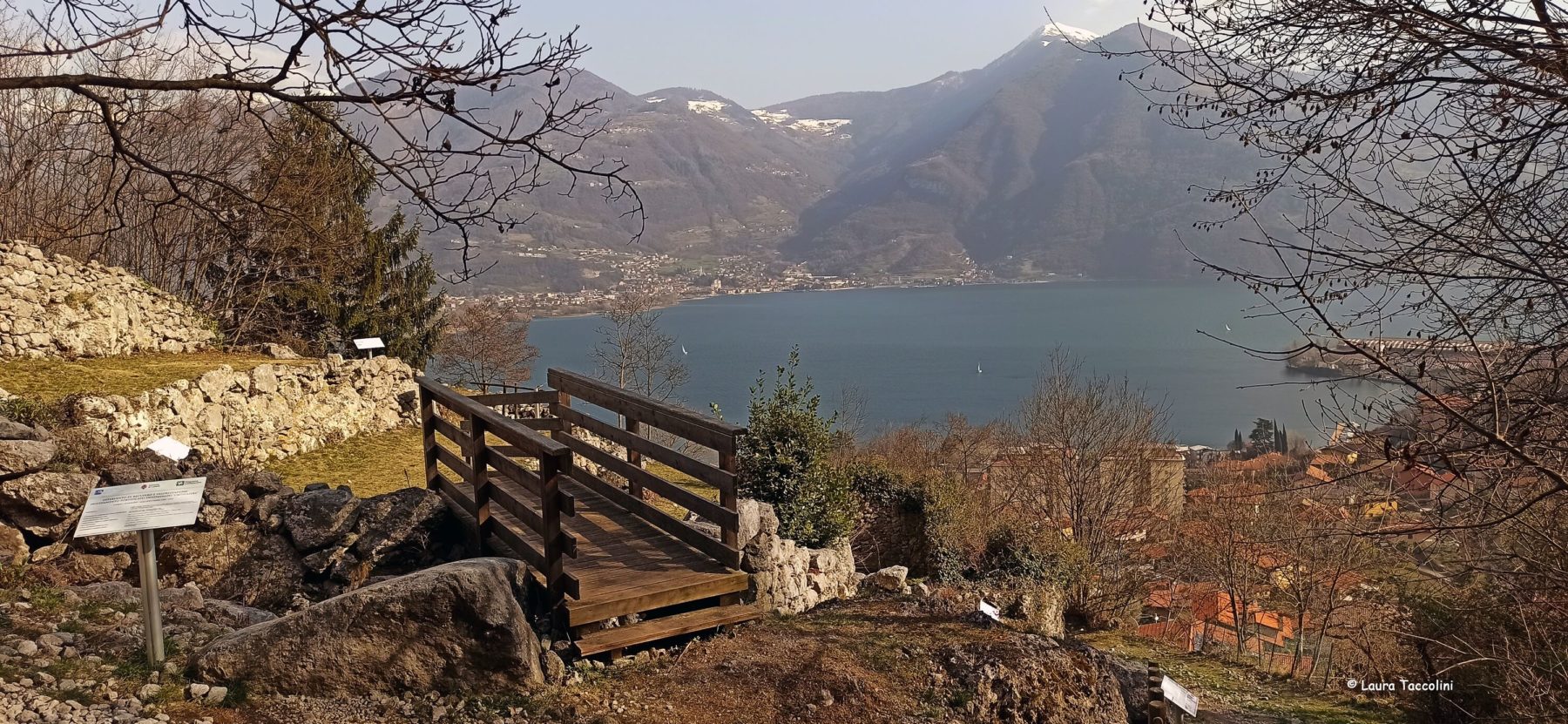
The north-eastern sector of the Bergamo Province is a privileged observatory to analyse, starting from communication routes, the dynamics linking territories with different characteristics and economic potential.
The existence, to the north, of important mining areas (such as Val Grigna, Alta Valcamonica, Valle di Scalve, Alta Valle Seriana and Val Parina), the morphology characterised by mountains and lakes and, at the same time, the easy access to the plains have, over the millennia, conditioned human settlements and routes which, thanks to this connecting function, have played a central role over time.
A hinge territory, therefore, which still bears the more or less visible signs of this important history.
The PAD Network – Percorsi archeologici diffusi (Widespread Archaeological Routes) intends to emphasise this particular aspect, proposing a reading of the territory through archaeological, architectural and artistic evidence, toponymy memory and road routes.


